High-alpine mountain run
A battle for every metre
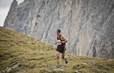
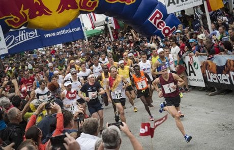
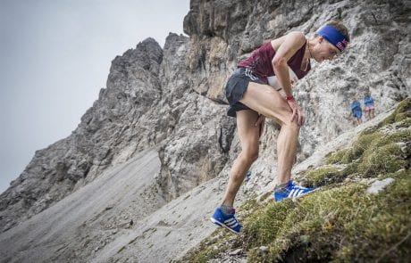
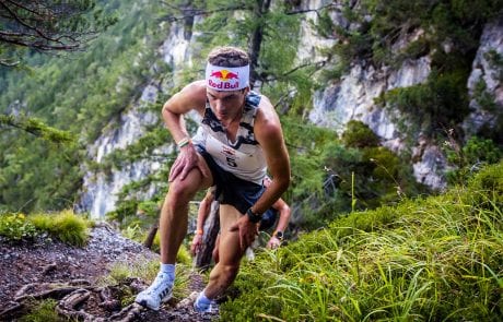
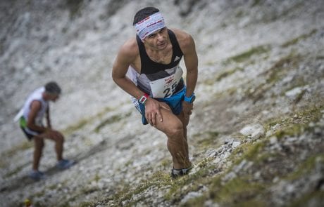
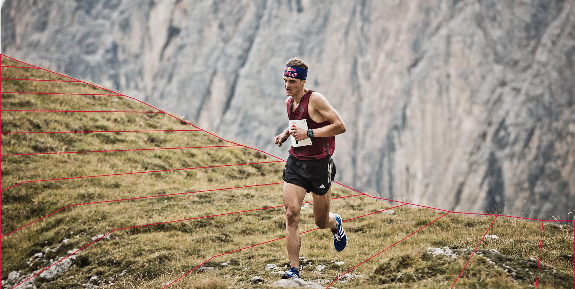
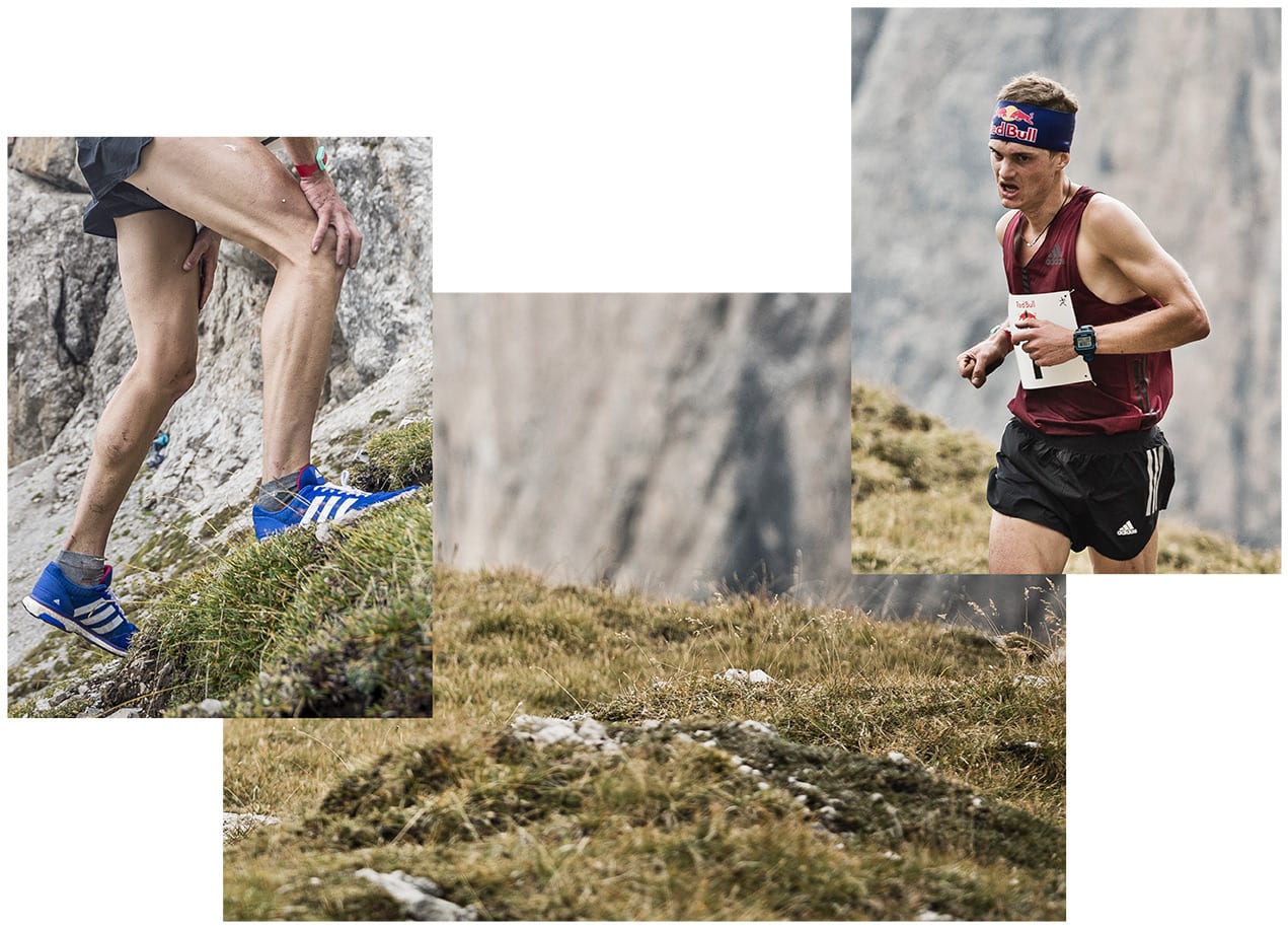
It is one of the toughest mountain runs of the world. Over a course 12 kilometres long, a 2000-metre altitude gain is to be overcome. Some passages literally force the athletes to their knees and can be overcome only on all fours. At the mainsquare in Lienz (10 am), at 674 m above sea level, the struggle for every metre starts as the athletes set their sights on Kuhbodentörl, at 2441 metres altitude – a breathtaking place to finish, which the athletes reach in 1.5-2.5 hours.
Length: 12 km | Altitude: 2.000 m
Route
Lienz
- Lienz Main-Square (674m above sea level) Start: 10 am
Amlach
- Amlach Church (through Amlach) to the Waldschenke
Goggsteig
- Steep, rocky climb up to the summit of Gogghütte (360m climb in altitude over a 900m path)
- Gogghütte (1053m altitude)
- Around 1km through the forest track until the junction with "Franz Lerch Weg" (take a right)
- Franz-Lerch-Weg (around 600m)
Klammbrückl
- Klammbrückl (1st refreshment station, 1096m above sea level)
- sharp left into the Kerschbaumer-Alm-Weg (3m wide gravel path)
- approx. 2 km to Hallebach
Enter Hallebachtal
- Hallebach (2nd refreshment station, 1374m above sea level)
- 20m before Hallebach sharp right on a very steep climb
- through mountain pine and jungle-like terrain to the tree line
- Forest line (3rd refreshment station, 2000m above sea level)
- to the left of the Mitterkopf (4th refreshment station)
Kühbodentörl
- FINISH (2441m above sea level) - 5th refreshment station
Alternative route
In the event of weather conditions that do not allow a run into the Lienz Dolomites (strong wind, snow, etc.), the mountain run is moved to the Hochstein. Decision by the race management. The exact route description will be announced in good time (briefing).
Clothing
The finish of the mountain run is in high alpine terrain. It is essential to ensure that the athletes wear appropriate footwear or with warm clothing and pack warm clothing in their garment bags for the return trip. The organizer flies the garment bags to the Kühbodenentörl by helicopter.
Attention
The participants have to walk downhill from the Kühbodenentörl to the shuttle bus stop for about 1 hour 30 minutes. Please take this into account when choosing clothing! The garment bags must be returned to the Europaplatz parking space by 7:15 a.m. on race day. Start control: all mountain runners have to be at the main square Lienz for start control on race day at 9:40 a.m. No show means disqualification, you have to wear a face mask in the starting area! Marking: yellow marking. Yellow signs in the forest, red-white-red route bands, otherwise yellow “Dolomitenmann” signpost. No climbing aids allowed ! Checkpoints along the route are mandatory. Important note: Anyone who does not make it to the “Hallebachtal” entry point will be removed from the competition! Winning time: approx. 1 hour 25 minutes. The training takes place at the risk of each participant. The route is only open for inspection.
